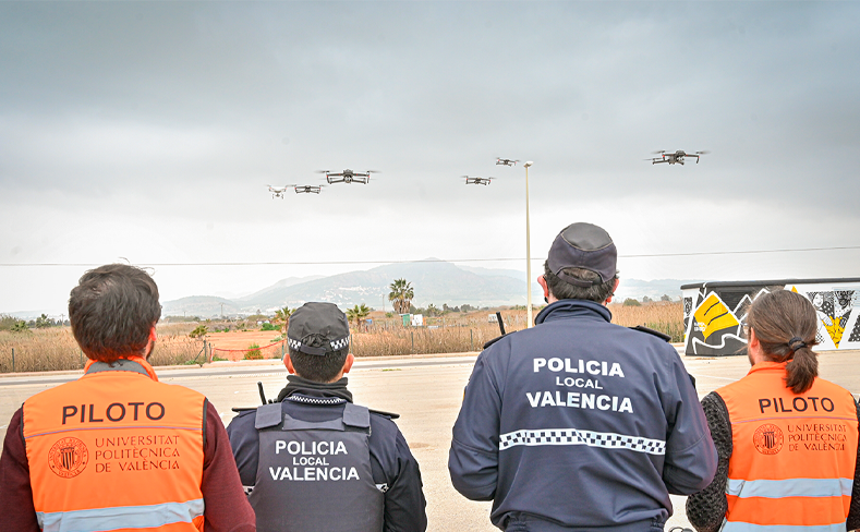
Our research institute provides an advanced service in the Construction, Piloting, and Applications of Unmanned Aircraft Systems (UAS), commonly known as drones. We specialize in developing diverse drone applications tailored to various needs, ranging from infrastructure inspection and large-scale crop monitoring to cartography generation and cadastral control.
Our drones are designed to assist in critical situations such as natural disasters, where they can provide crucial information rapidly and safely. We leverage the latest technology in UAS design and operation, providing drones with superior flight capabilities, high-resolution imaging, and advanced data processing. Our team of experienced drone pilots ensures accurate data capture and operational efficiency.
We are committed to helping you harness the potential of drone technology, offering solutions that improve safety, efficiency, and decision-making in your operations.

Applications
- Infrastructure Inspection: Drones can be used to inspect buildings, bridges, power lines, pipelines, and more.
- Agriculture: Monitoring crop health, irrigation systems, and pest infestations over large farms.
- Cartography and GIS: Generating high-resolution maps and digital elevation models.
- Cadastral Control: To maintain up-to-date property records and detect land-use violations.
- Disaster Response: Drones can assist in search and rescue operations, damage assessment, and delivering supplies.
- Wildlife Conservation: Monitoring wildlife populations and habitats, and tracking poaching activities.
- Mining and Quarrying: Surveying mine and quarry sites for planning and safety purposes.
- Construction: Monitoring construction progress and inspecting hard-to-reach areas.


